Leaderboard


Popular Content
Showing content with the highest reputation on 10/25/2018 in all areas
-
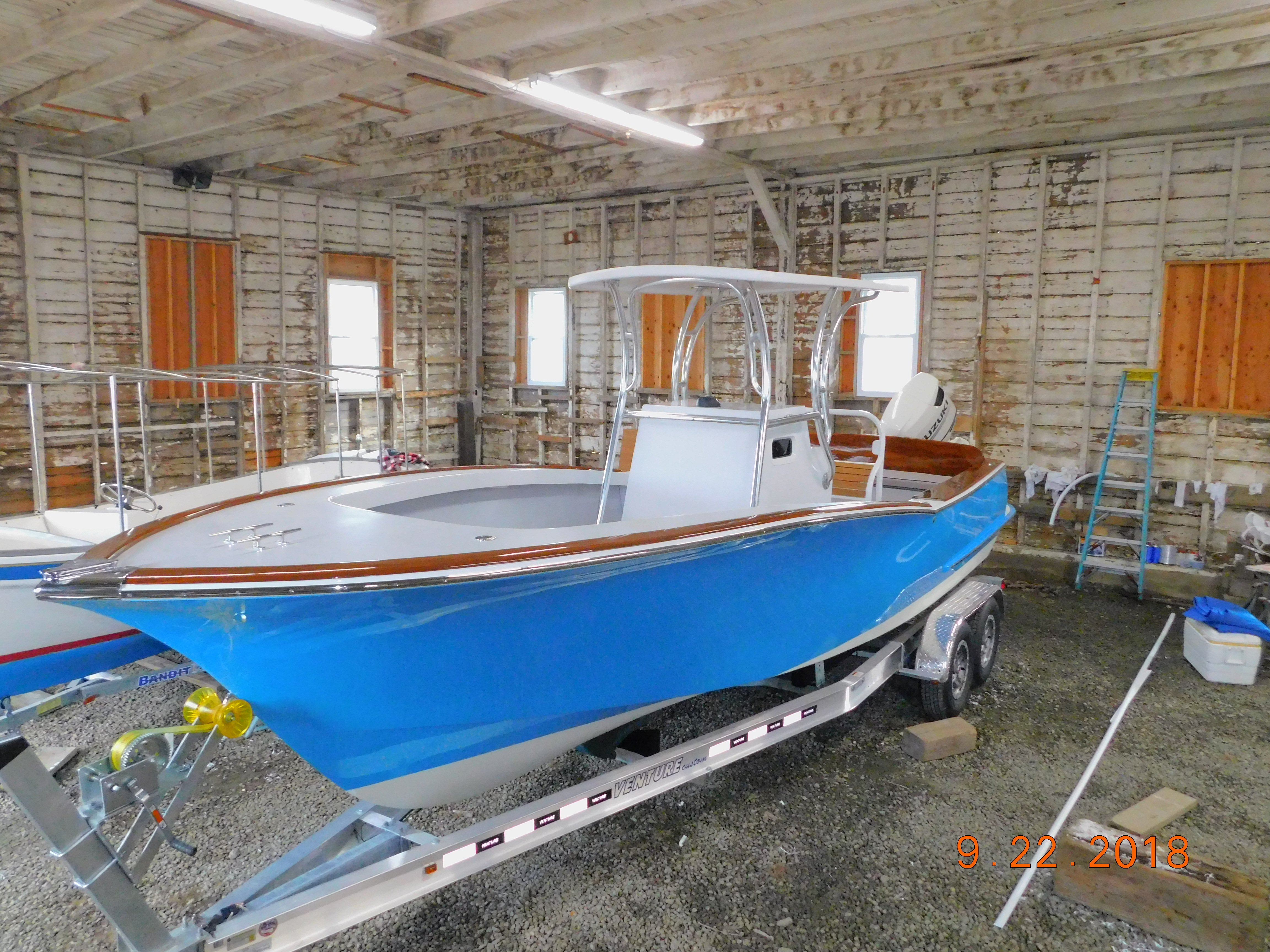
On February 20 2013 I started my Ocracoke 24. Five years later I finally have finished. I want to first thank Graham for all his help and beautiful lines on this boat. This boat is all composite. Core cell foam and fiberglass. To those who are thinking of building the 24 I strongly suggest the outboard bracket. The boat runs just fantastic through the water. It is powered by a 150 Suzuki. Only had it in the water for 2 weeks. Saw 46 mph with four people and 35 gallons of fuel. That was at 4800 rpm. Fast enough for me. Thanks to everyone on this site for there ideas and inspiration to keep going. Unfortunately work commitments kept me from the Mess About this year but hope to be there next year


 1 point
 -
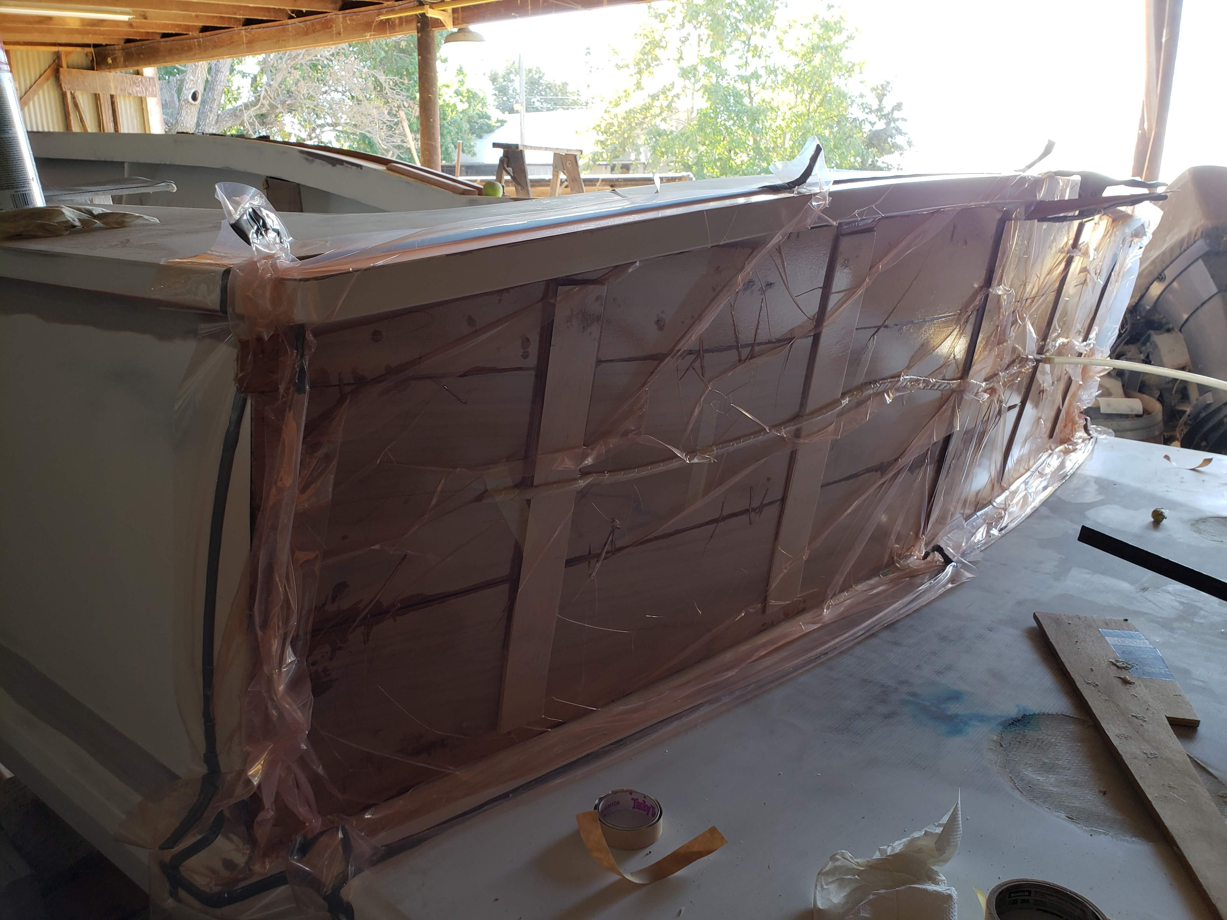
Bagging teak boards to the transom.


 1 point
 -
Hi Don, It was great to see you at the messabout. I like those booklet charts too. I've been using them on the Chesapeake, just printing them out on regular paper and putting them into plastic sleeves in a 3-ring binder. After the outing, I draw my approximate route and keep the page as a momento. It's not as secure as your method, but I also have a waterproof GMCO chart book for backup. The one thing I don't like about the booklet chart is that the lat/long minutes are only marked on pages that cover the edges of the original paper chart. The few times I've gotten lost down the wrong creek, it was tricky to find my position on the chart from the lat/long on my GPS. Bob1 point
-
Unfortunately no running pictures. The weather was terrible and time was short. I can tell you that the ride was fantastic. I am a marine surveyor and I ride in a lot of boats. I was most impressed going downhill. The boat just surfs and is easy to drive. I have the QL trim tabs made by Volvo. I would never use conventional tabs again. They are extremely responsive and have very little drag. I am going to ask Santa for the automatic module that levels the boat automatically. The rear seat was a major benefit of the outboard bracket. Makes the cockpit huge. I would suggest the bracket to anyone building a 24. I added my bracket when I was more than half done. It also is composite so aluminum to blister. Graham was extremely helpful with the dimensions. I was worried since I changed the center of gravity moving the engine back 30". Thankfully it all worked out. Thank you for your kind words
 1 point
 -
Very nice work .. Do you have any running shots available? I really like the rear seating set up.1 point